

Project details
Status: Current
At a glance
- Develop and demonstrate a data driven approach to soil carbon quantification
- Investigate the ability for remote sensing and machine learning (RS/ML) methods to predict soil organic carbon ‘SOC’
- Help to decrease the number of soil samples required for accurate soil carbon quantification
A 0.4% increase in soil carbon per year would offset almost all annual global CO2 emissions
- “4 per 1000” Initiative
Physical measurement
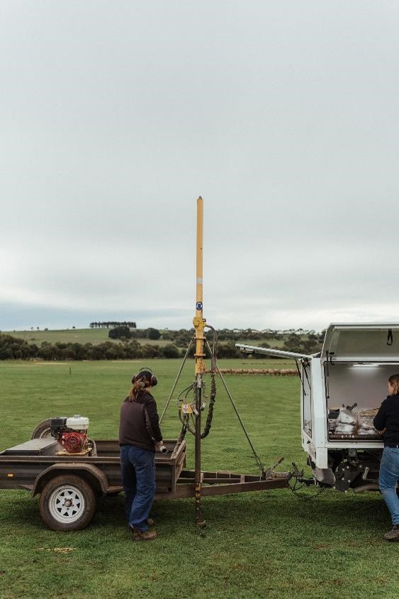
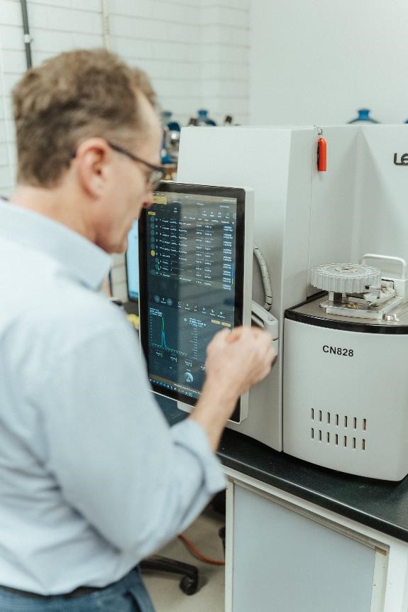
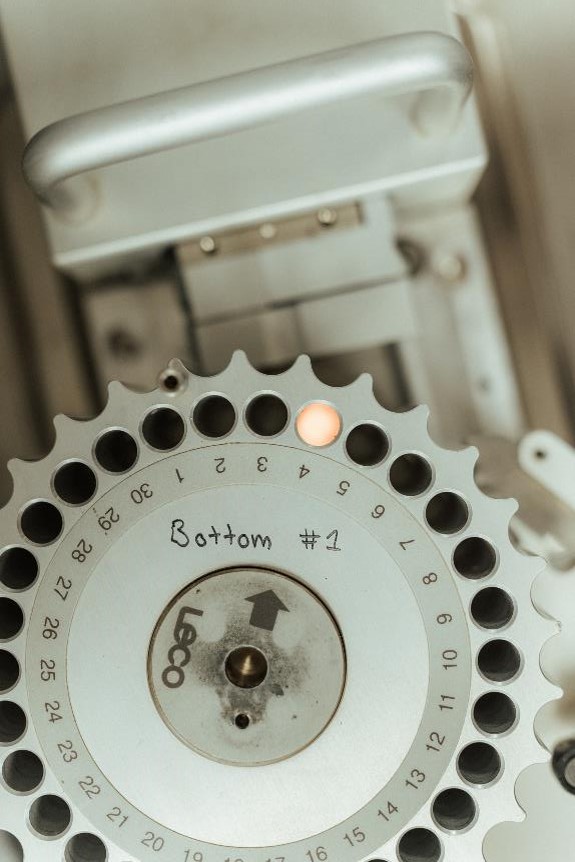
To identify soils low in carbon, we have traditionally taken physical measurements in the field. Physical measurement of soil carbon is costly:
- Cost of sampling ranges widely: $AU30-175 per core
- Total cost of sampling soil carbon ranges from $AU15/ha to $AU60/ha
- In 2022, Australian Government announced National Carbon Innovation Challenge to reduce cost of soil carbon down to $AU3/ha

Two approaches for modelling soil organic carbon
- Satellite imagery plus some form of machine learning algorithm
- Very good at quantification of spatial variability in SOC
- BUT limited ability to accurately quantify SOC temporal dynamics
Spatial modelling of soil organic carbon
Accuracy a function of multiple factors:
- Satellite imagery (e.g. Landsat 8 15 x 30 m in 2018 nine spectral bands, PlanetScope 3 x 3 m in 2017, 8 bands…)
- Image exclusion (e.g. due to clouds)
- Type of algorithm e.g. random forest, artificial neutral networks
- Covariates (e.g. soil texture, altitude, land history, bulk density…)
- Temporal variation in land-use accounted for through imagery (statistical)
- Typically point-based (e.g. APSIM, DayCent, DNDC, RothC)
- Requires detailed characterisation of site conditions, management, soil types
- Very good at temporal simulation and scenario analysis of how crop or pasture management impacts on SOC trajectories
- BUT cannot quantify spatial variation in SOC within or across fields
Temporal modelling of soil organic carbon
- Process-based temporal models predict SOC in based on underlying processes (cycling of fresh, labile, humic organic matter…)
- Account for crop and pasture management, driven by daily weather such that SOC is computed as a function of aggregate management and climate
- For many fields, we don’t know historical management, but we need historical management as model inputs
Soil sampling
To improve our model calibration and validation, we are sampling soil carbon across Australia. We are sampling on 100 farms and using existing data.
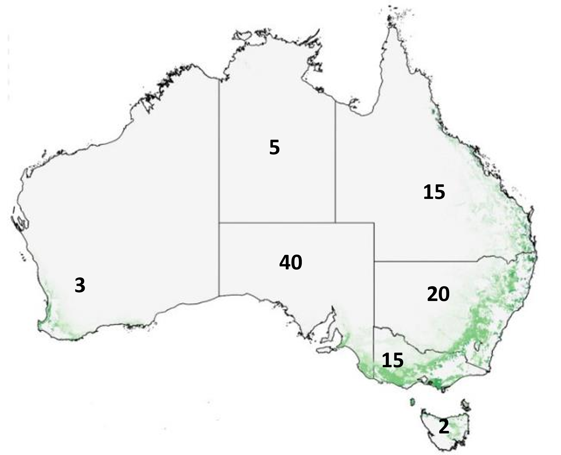
Existing data
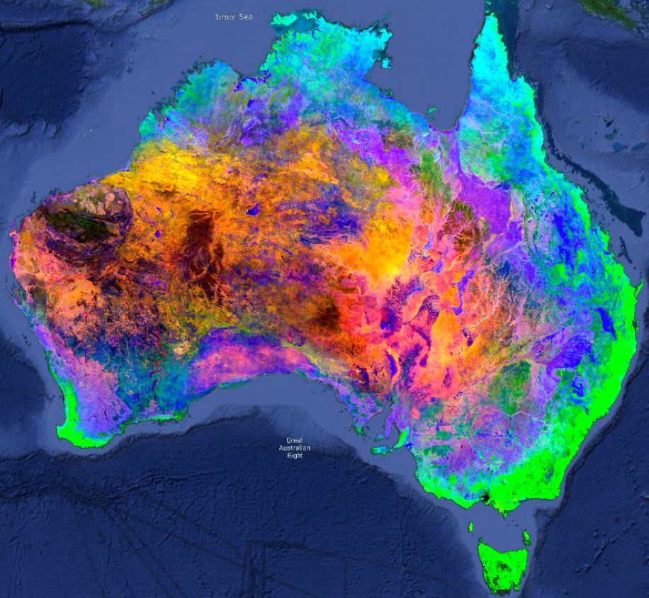
Utilising the database acquired from Sentinel-2 satellites, we examine observational data focused on the Australian landmass from January 2018 to May 2023. Our analysis encompasses both 10-meter and 20-meter spectral bands, resulting in a 10-wavelength multidimensional vector associated with each pixel. A grid is overlaid on the image to create 'tile' areas with cloud interference removed from the image. Each 'tile' is then processed to incorporate both spectral and temporal characteristics.

FarmLab
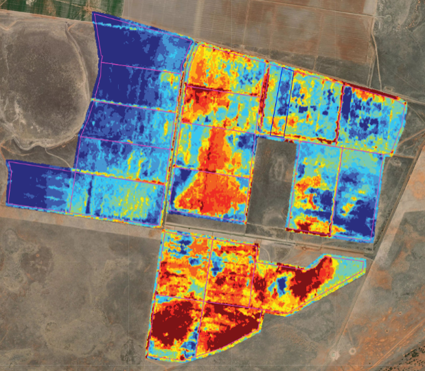
TIA are collaborating with FarmLab to develop integrated spatiotemporal analytics for accurately predicting soil organic carbon at scale. FarmLab are conducting the spatial analysis and soil sampling, while TIA are conducting the temporal analysis, process-based modelling, research publication and extension. The "zero-point" SOC quantification is fully integrated into the Farmlab platform, delivering high-resolution preliminary estimates of SOC prior to the initiation of point sampling.
Effect of crop rotation on soil organic carbon less important over long term
Using regional information on crop rotations results in similar simulated accuracy as that in simulating SOC with actual management. The effects of initial soil carbon dominate regardless of crop rotation.
- Initial SOC in the model accounts for the greatest change in SOC over the long term (70%)
- Fertiliser applied at sowing accounts for 10% of long-term SOC change
- Crop rotation only accounts for 2% long-term change in SOC
- Next step is to integrate spatial and temporal approaches for modelling SOC (or not, depending on outcome)
Implications
- Improved accuracy of modelled SOC would significantly reduce the cost of physically sampling SOC
- Implications for carbon markets (e.g. Climate Action Reserve, Verra, Gold Standard) such that carbon drawdown could be more rigorously predicted at scale
- Identification and restoration of degraded lands (or those with suboptimal production) may be more accessible with remote sensing and coupled vegetation models
- Enable government/industry to prioritise land use between regions for carbon sequestration/conservation vs commodity production. Landscape scale approaches may be more amenable to net-zero transition, as opposed to trying to transition all individual farms to net-zero. Work across sectors and regions!
How can we improve soil organic matter?
- Retain organic matter: Avoid burning litter.
- Improve seasonal ground cover for a longer proportion of the year:
- Improve inter-row ground cover
- Strategic addition of nutrients (noting that adding N can increase nitrous oxide in some contexts)
- Reduce surface erosion (wind or water)
- Pasture species diversity and deeper roots may have some benefit
- Convert from annual crops to perennial pastures
- Reduce cultivation
- Savanna fire management methods: burn early in dry season when fires are cooler and patchy, consider burning less area
- Inter-row crops: for tree crops and vines
- Organic amendments: e.g. biochar spreading or feeding to livestock
- Clay delving: can reduce non-wetting sands but only where existing soil texture is suboptimal
- New irrigation: begin irrigation on previously rainfed field
For more information contact:
Associate Professor Matthew Harrison matthew.harrison@utas.edu.au
Acknowledgements:
Dale Roberts (FarmLab)
Oli Madgett (FarmLab)
Sam Duncan (FarmLab)
Perennial
Australian Government Soil Carbon Innovation Challenge (DISER)
Meat & Livestock Australia (MLA)